
November 2026 Media Toolkit
Florida Wildlife Corridor Conservation Update
November 17, 2026
Seven Properties Approved for Protection
The Florida Governor and Cabinet approved funding for the permanent conservation of 55,438 acres within the Florida Wildlife Corridor during the November 17, 2026 Cabinet meeting.
Please use this digital media toolkit to share this exciting news with your audience.
A message for our partners, colleagues, and friends in Florida: The protected lands of the Florida Wildlife Corridor are a place where our collective missions intersect. Land conservation successes contributing to the Corridor help ensure the long-term survival of many species, provide life support systems for Florida’s cities, improve the health of our waters, and protect natural Florida for future generations. As Florida grows, continued investment in conservation lands is critical to ensure that our wild lands will provide benefits to all Floridians.
Press
Florida Department of Agriculture and Consumer Services Press Release
Overview Images
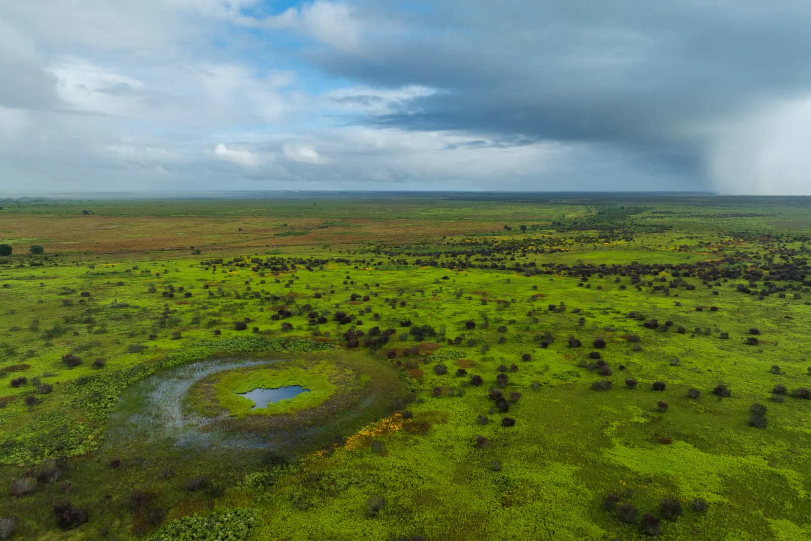
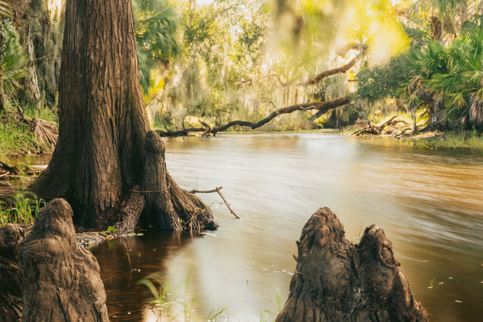
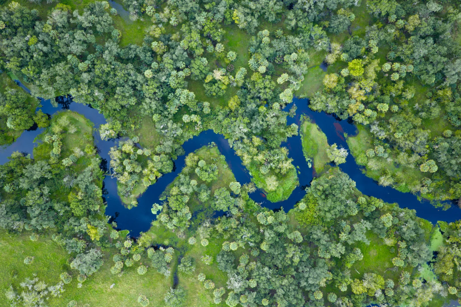
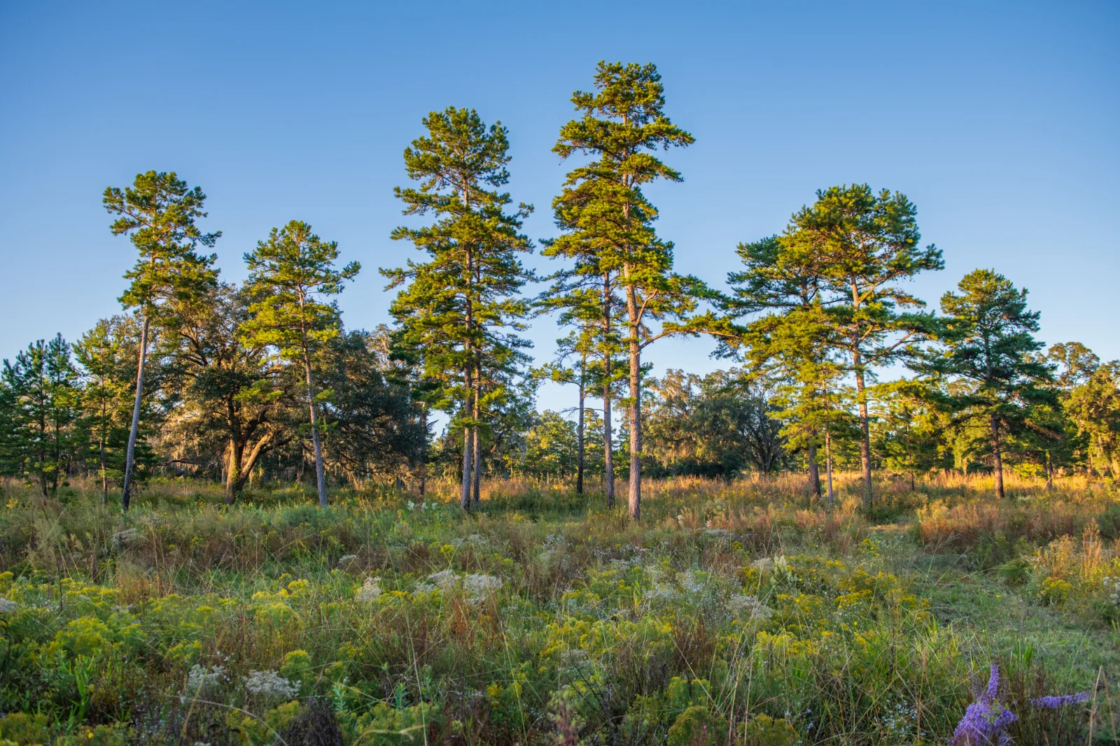
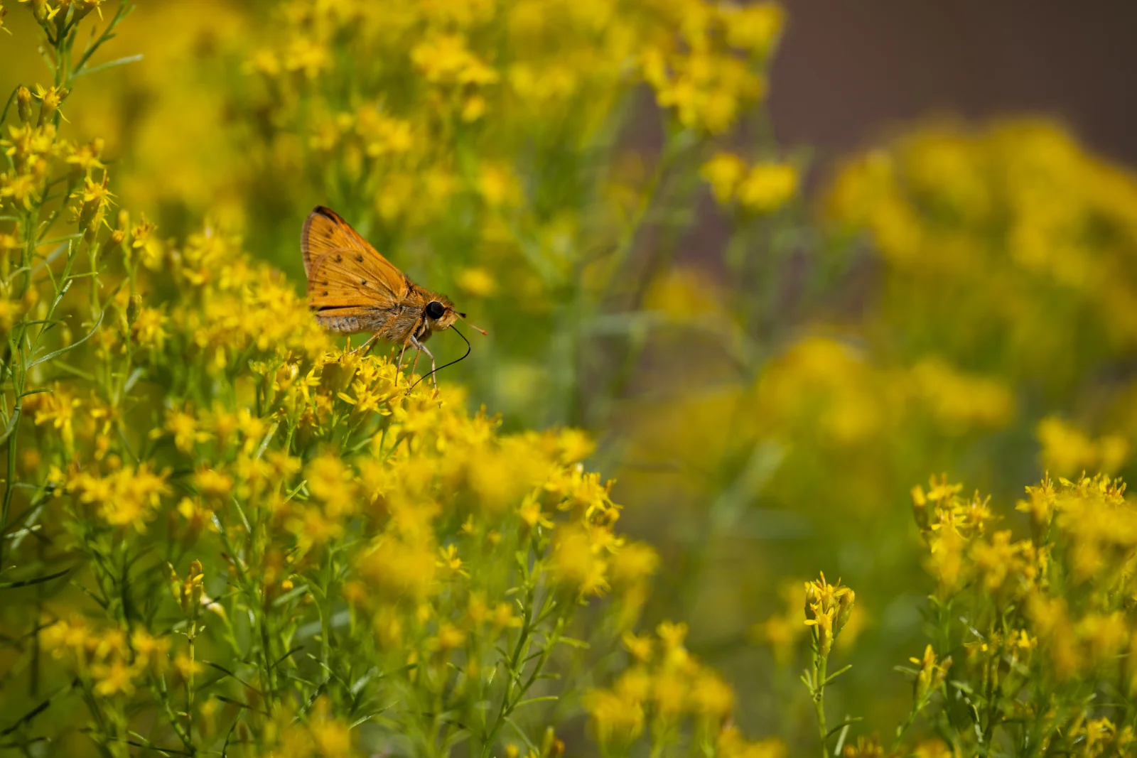
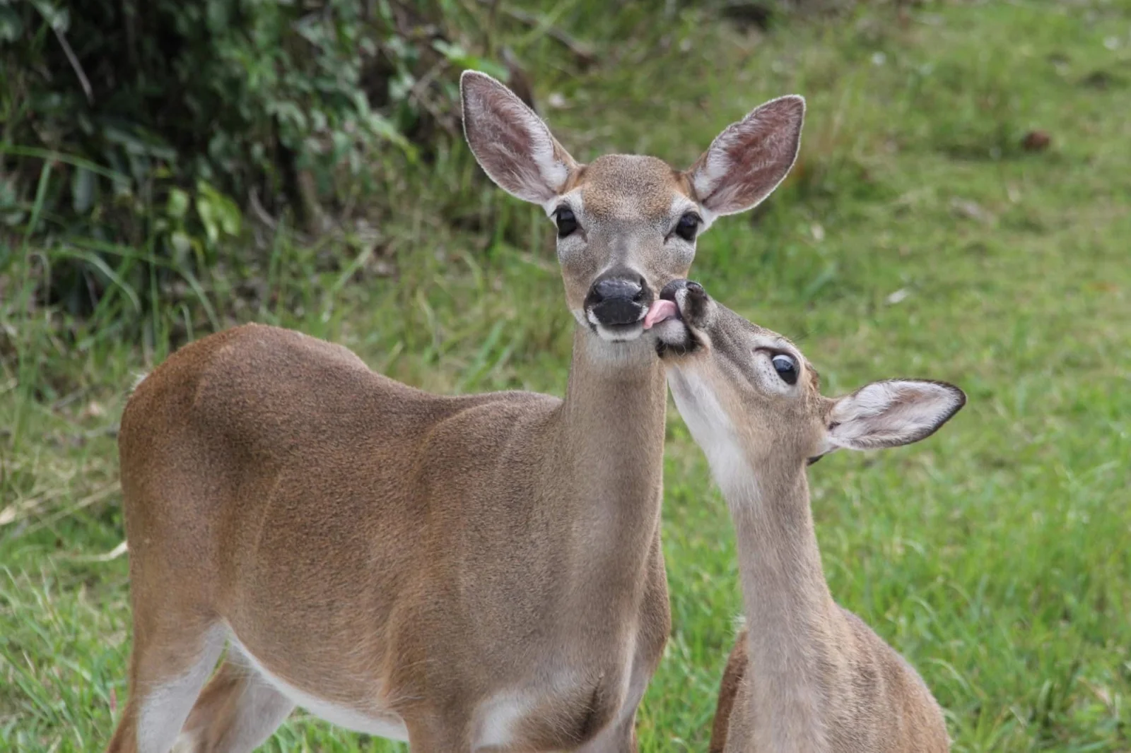
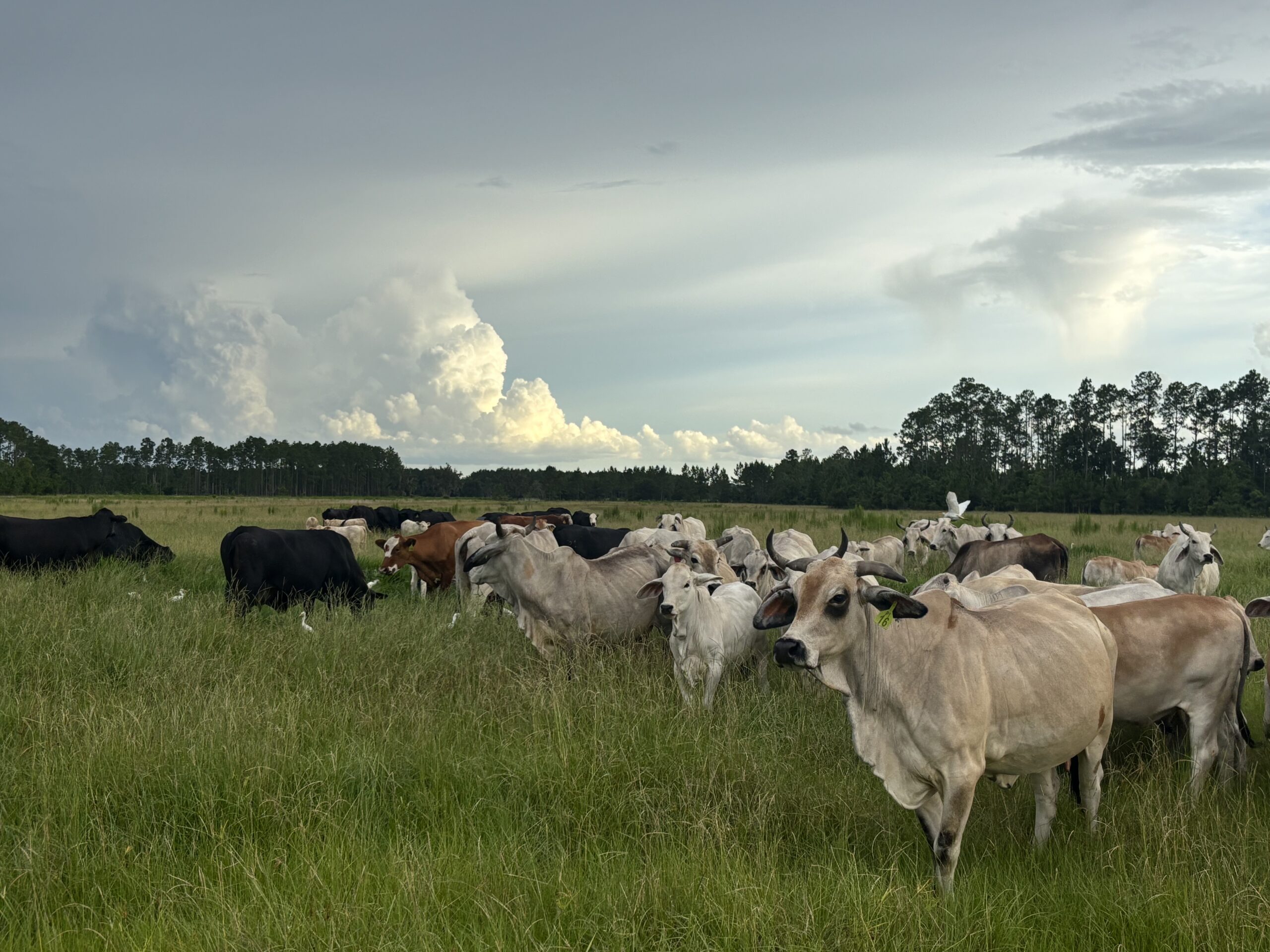
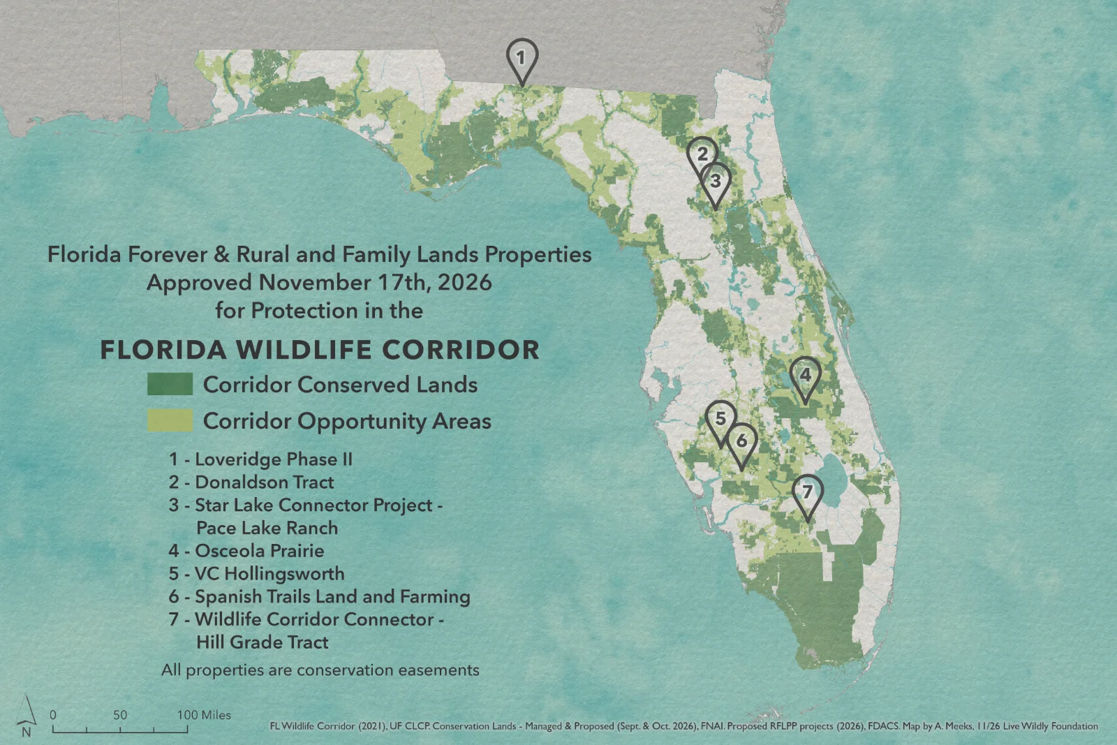

Osceola Prairie
Suggested Post:
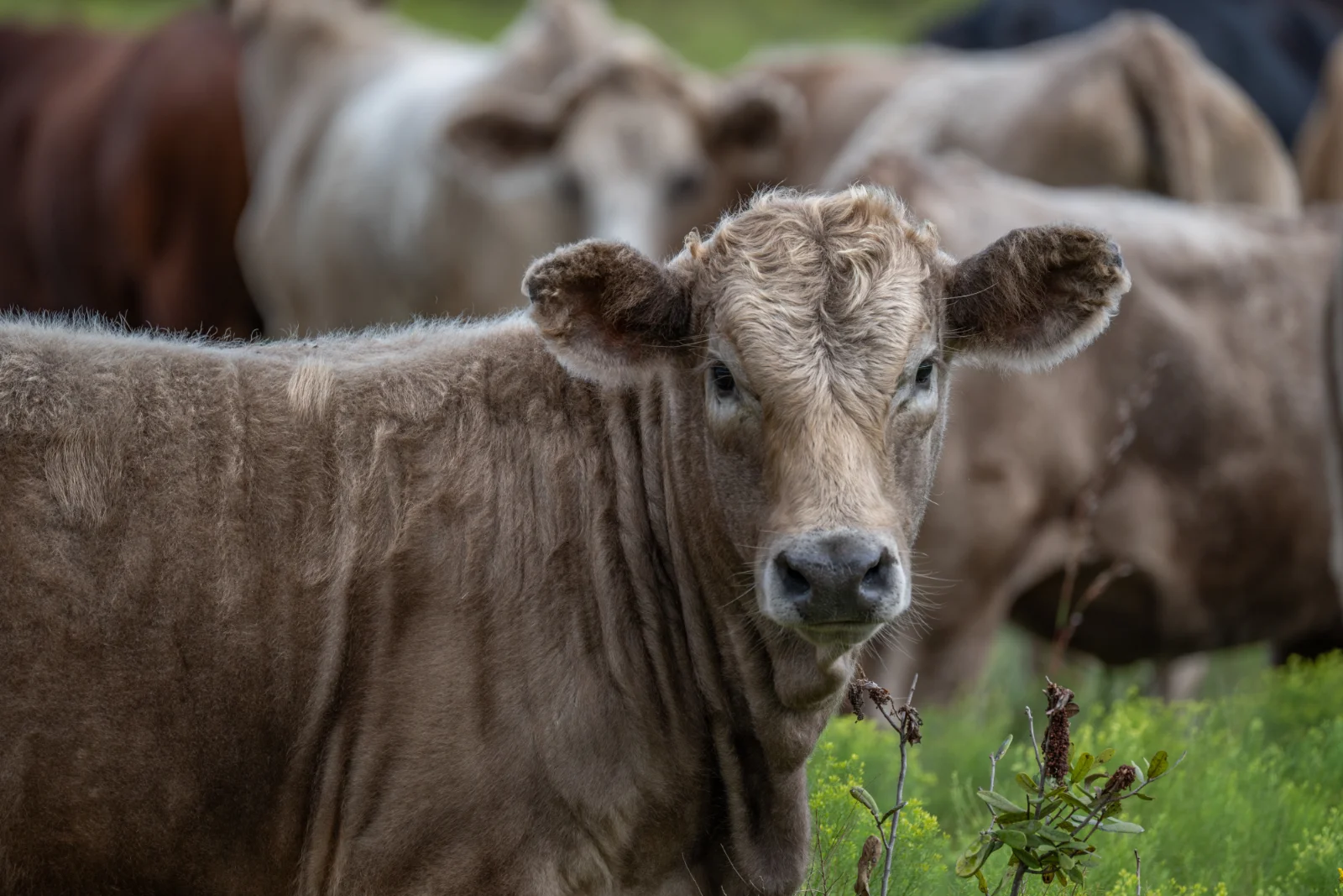
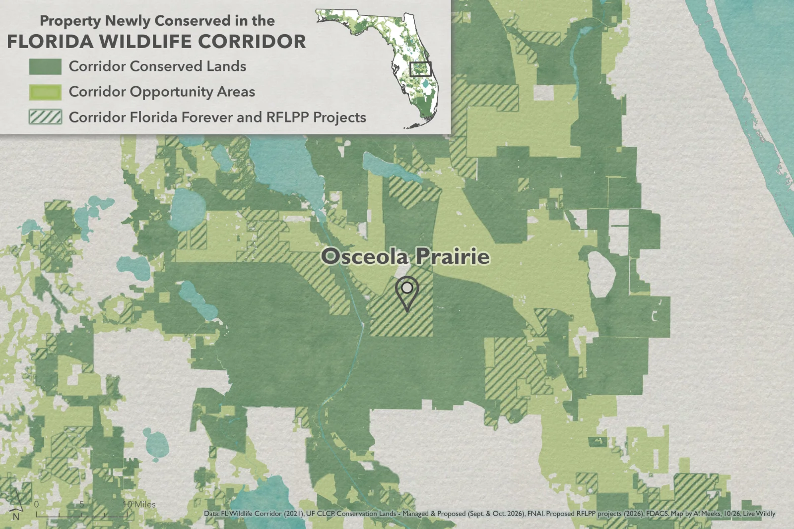
Osceola Prairie, located in the Florida Wildlife Corridor, is a 19,312-acre cattle ranch recently approved for a rural lands conservation easement through the Rural and Family Lands Protection Program at the November 17 meeting of the Governor and Cabinet.
Thank you to the landowner, the Florida Department of Agriculture and Consumer Services, and U.S. Department of Defense’s REPI Program for coming together to conserve this property.
Osceola Prairie is located within the Kissimmee River Basin, Northern Everglades ecosystem, and Avon Park Air Force Range Sentinel Landscape. The conservation easement borders Kissimmee Prairie Preserve State Park and DeLuca Preserve, bringing vital connectivity to other conservation lands. The ranch includes dry prairie, palmetto prairie, scrub, improved pasture, and wetlands. Osceola Prairie is home to many species such as the Florida grasshopper sparrow, Florida panther, gopher tortoise, crested caracara, Florida black bear, and roseate spoonbill.
Instagram tags: Florida Department of Agriculture and Consumer Services, Photos by @leyoho/@wildpath
Facebook tags: Florida Department of Agriculture and Consumer Services, Photos by @LaurenYoho/@Wildpath
Map Instagram tags: Map by @angeline.maps/@livewildlyfl
Map Facebook tags: Map by Angeline Meeks/@Livewildlyfl



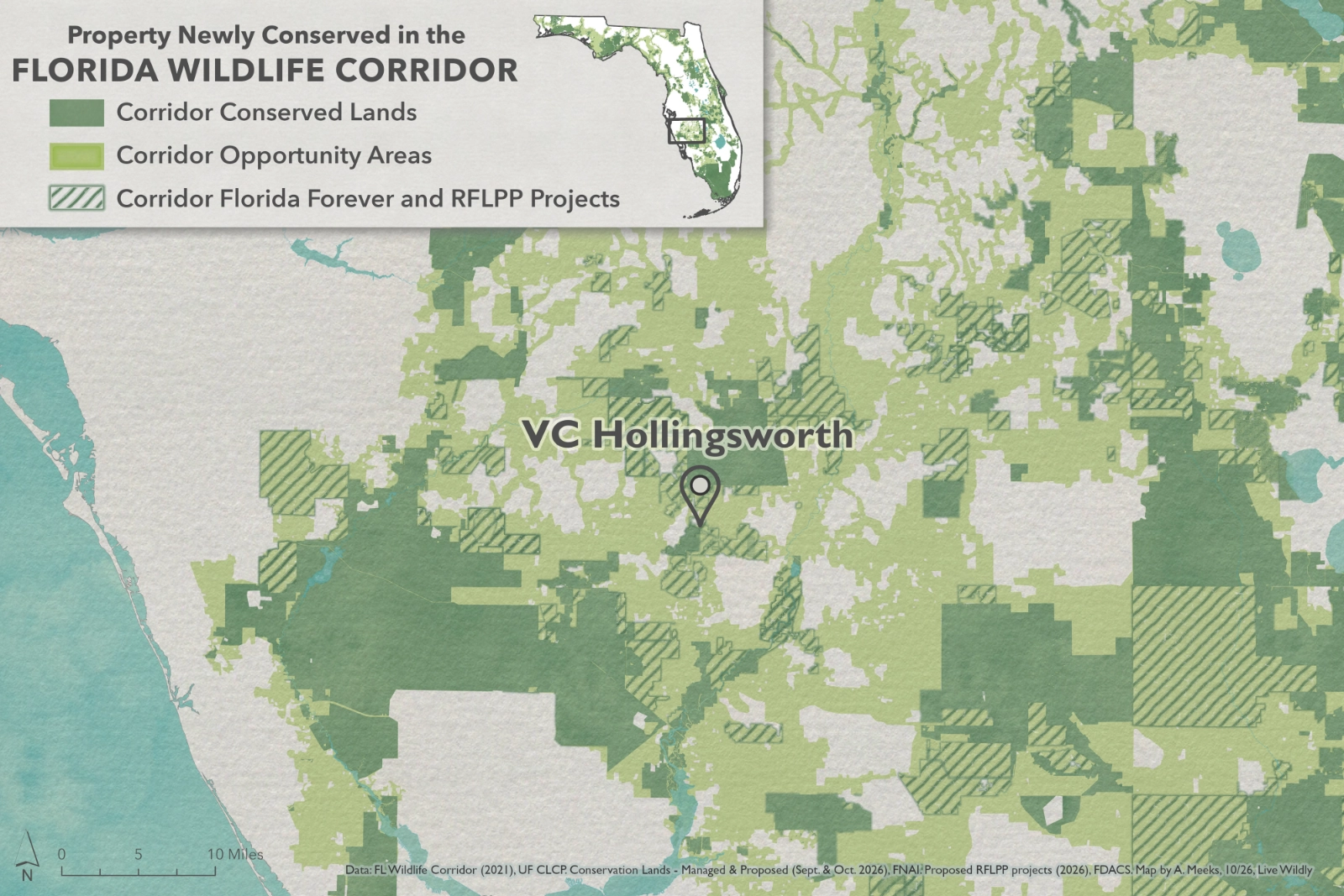
VC Hollingsworth
Suggested Post:
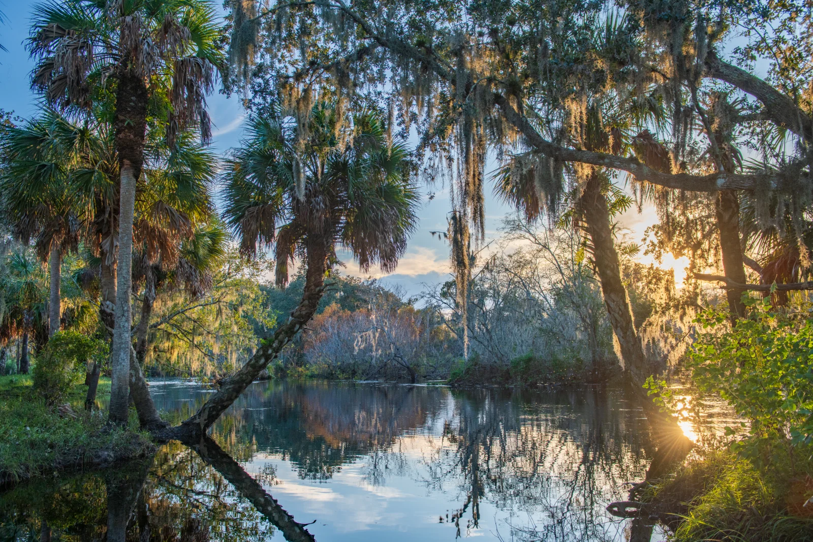
VC Hollingsworth Horse Creek–Pine Level Ranch, located in the Florida Wildlife Corridor, is a 7,057-acre ranch recently approved for a rural lands conservation easement through the Rural and Family Lands Protection Program at the November 17 meeting of the Governor and Cabinet.
Thank you to the landowner, the Florida Department of Agriculture and Consumer Services, and Florida Conservation Group for coming together to conserve this property.
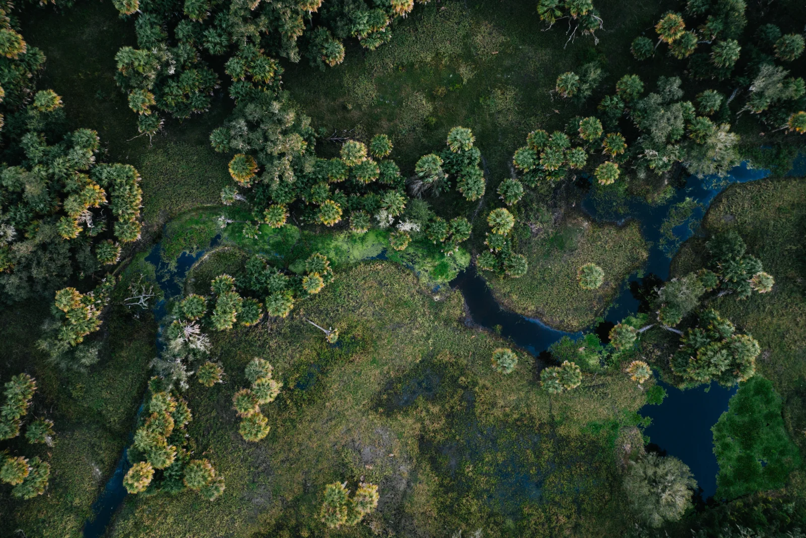
VC Hollingsworth is located within the Horse Creek subbasin of the Peace River Watershed and includes more than 3,000 acres of natural floodplain. The natural lands provide groundwater recharge, floodwater storage, water-quality protection, and connectivity within the Peace River watershed. The ranch is home to roseate spoonbills, crested caracara, bald eagle, Florida burrowing owl, Florida sandhill crane, tricolored heron, and several other species.
Instagram tags: Florida Department of Agriculture and Consumer Services, @floridaconservationfcg, Photos by @leyoho/@wildpath
Facebook tags: Florida Department of Agriculture and Consumer Services, @Florida Conserve, Photos by @LaurenYoho/@Wildpath
Map Instagram tags: Map by @angeline.maps/@livewildlyfl
Map Facebook tags: Map by Angeline Meeks/@Livewildlyfl



Spanish Trails
Suggested Post:
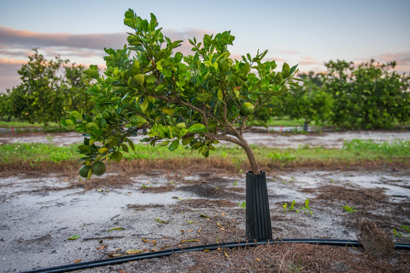
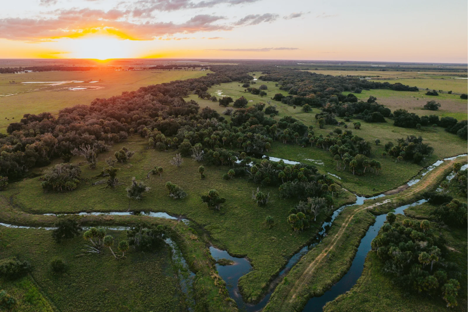
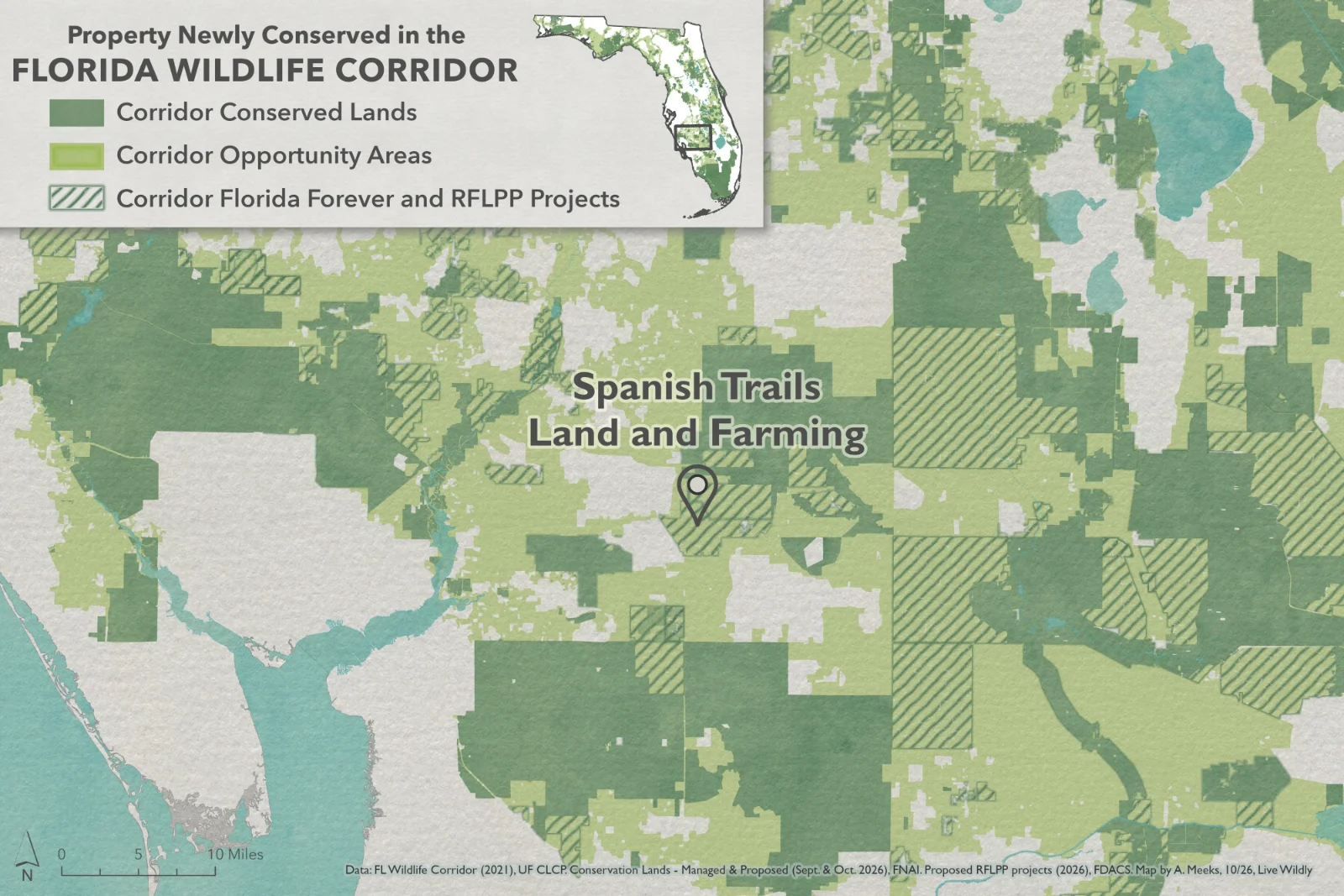
The 6,058-acre, Spanish Trails Land and Farming Property, located within the Florida Wildlife Corridor, was recently approved for a rural lands conservation easement through Rural and Family Lands Protection Program at the November 17 meeting of the Governor and Cabinet.
Thank you to the landowner and the Florida Department of Agriculture and Consumer Services for coming together to conserve this property.
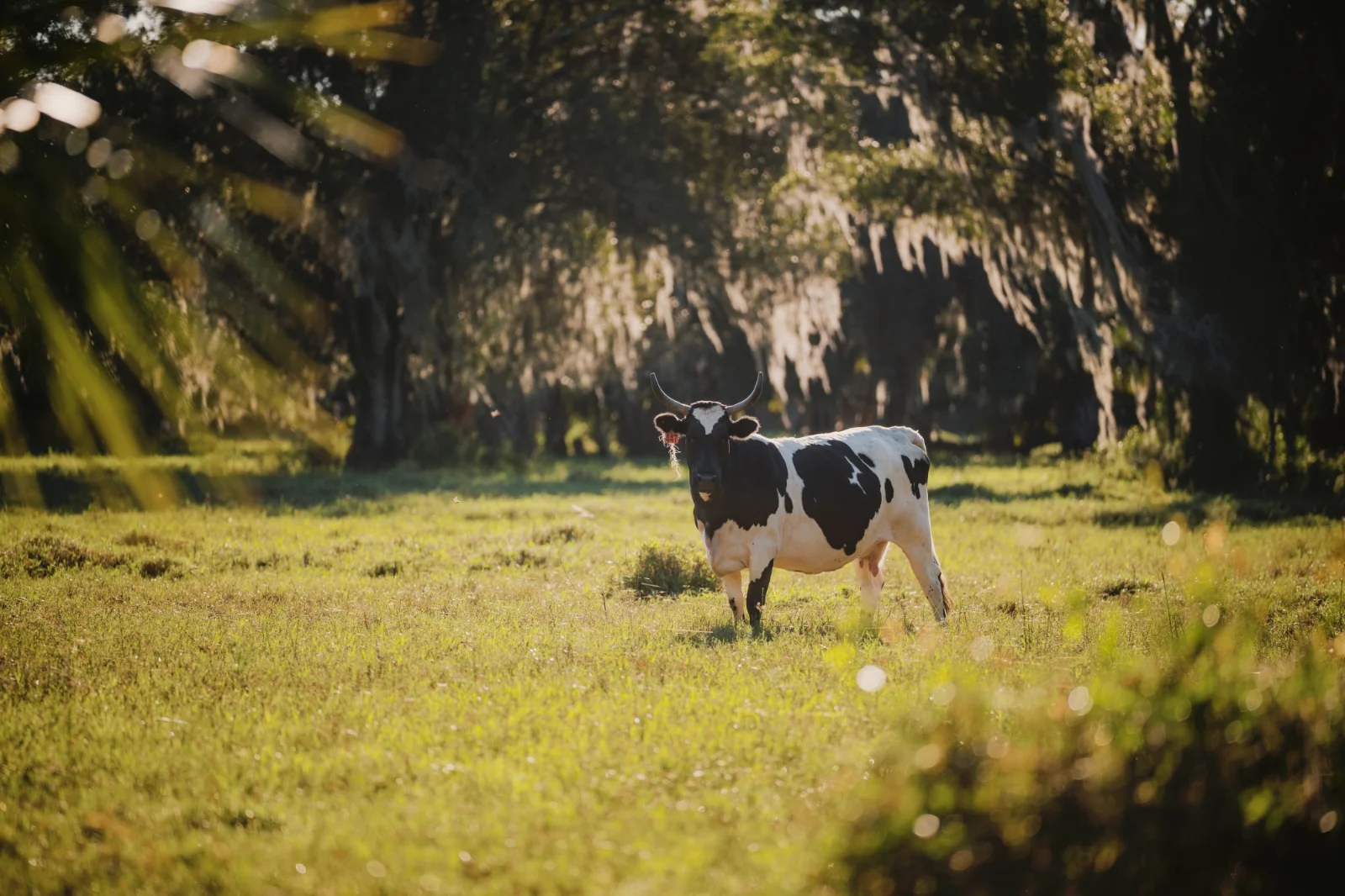
Spanish Trails is a working ranch located in Charlotte and DeSoto counties. The property also produces watermelon and hay. Prairie Creek traverses parts of the ranch. Spanish Trails is south of Halls Tiger Bay Ranch Rural Lands Protection Easement, contributing to the protection of a larger agricultural and conservation landscape.
Instagram tags: Florida Department of Agriculture and Consumer Services, Photos by @drewmcdougall/@wildpath
Facebook tags: Florida Department of Agriculture and Consumer Services, Photos by Drew McDougall/@Wildpath
Map Instagram tags: Map by @angeline.maps/@livewildlyfl
Map Facebook tags: Map by Angeline Meeks/@Livewildlyfl


Donaldson Tract
Suggested Post:
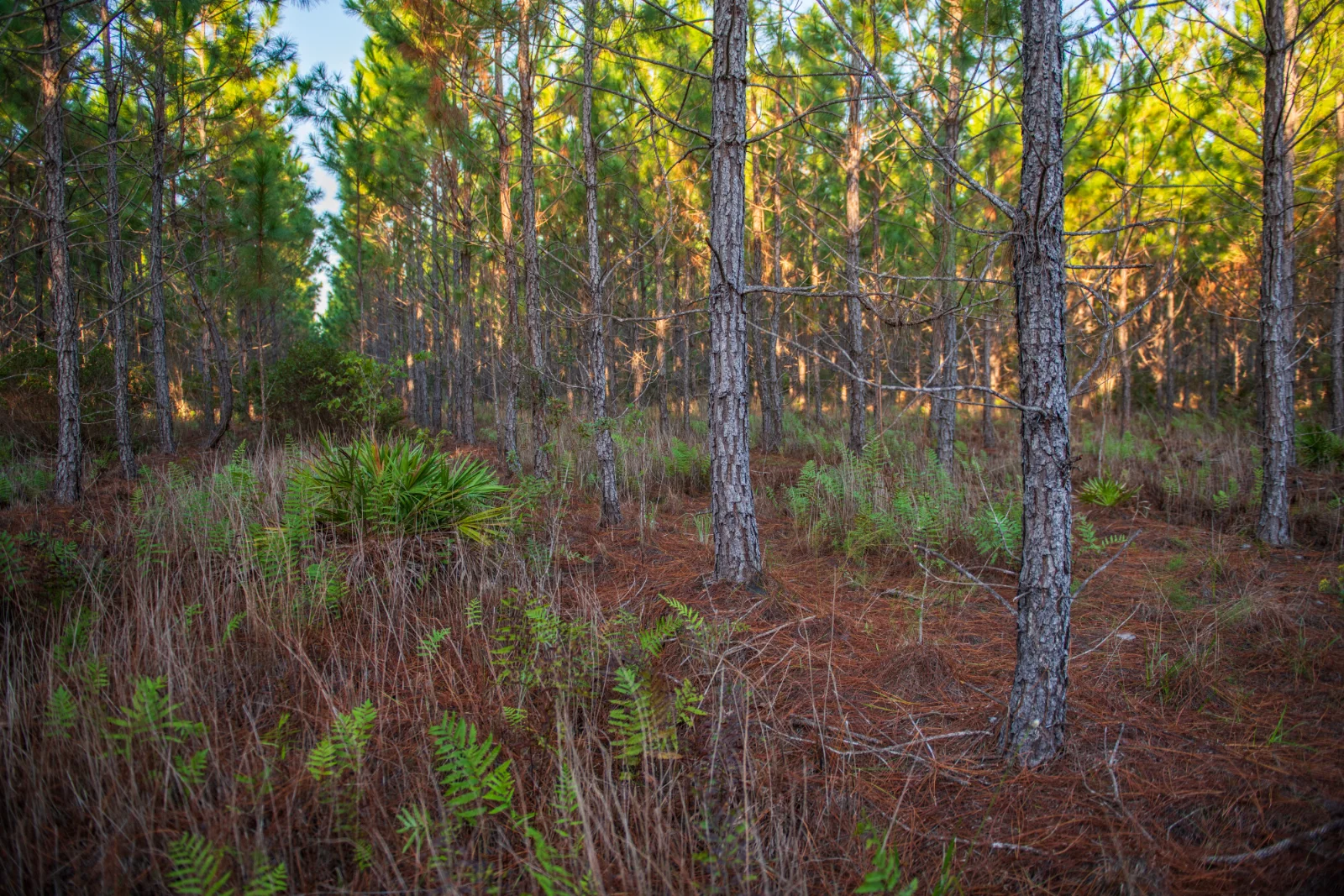
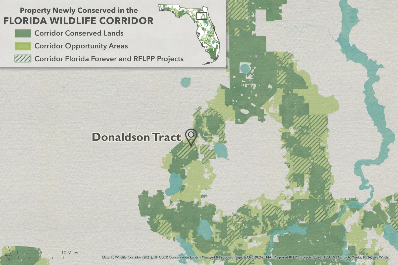
Donaldson Tract Project – Pithlachocco Plantation, located within the Florida Wildlife Corridor, was recently approved for a rural lands conservation easement through the Rural and Family Lands Protection Program at the November 17 meeting of the Governor and Cabinet.
Thank you to the landowner and the Florida Department of Agriculture and Consumer Services for coming together to conserve this property.
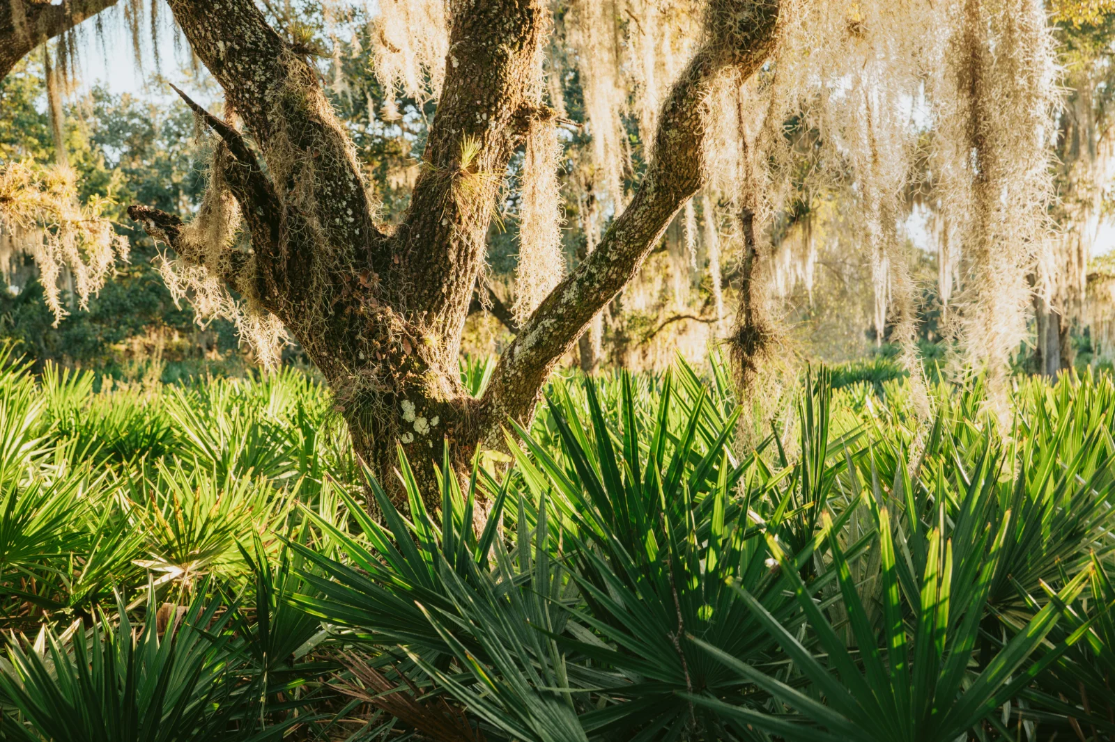
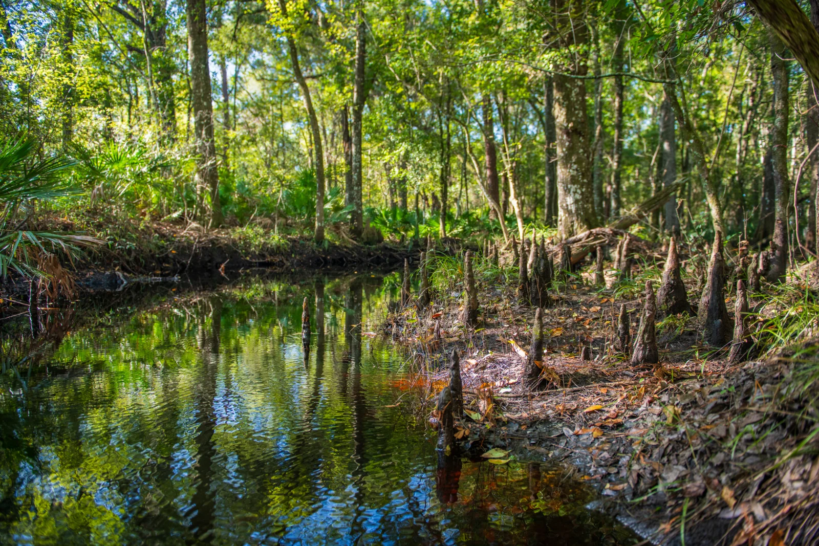
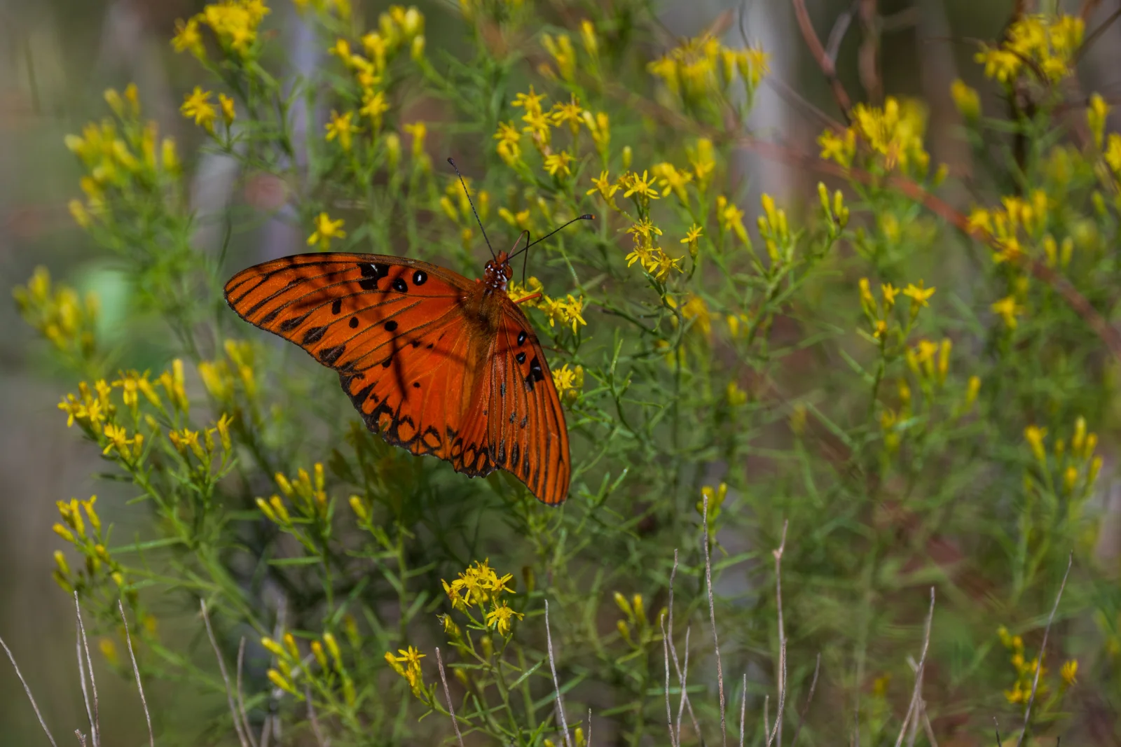
Donaldson Tract is a 4,668-acres of timberland located in Alachua County. The property connects to the University of Florida’s Austin Cary Forest, the St. Johns River Water Management District’s Newnans Lake Conservation Area, and Alachua County’s Bee Tree Creek Preserve and Balu Forest. Hatchet Creek flows through the southern part of the property into Newnans Lake.
Instagram tags: Florida Department of Agriculture and Consumer Services, Photos by @leyoho/@wildpath
Facebook tags: Florida Department of Agriculture and Consumer Services, Photos by @LaurenYoho/@Wildpath
Map Instagram tags: Map by @angeline.maps/@livewildlyfl
Map Facebook tags: Map by Angeline Meeks/@Livewildlyfl
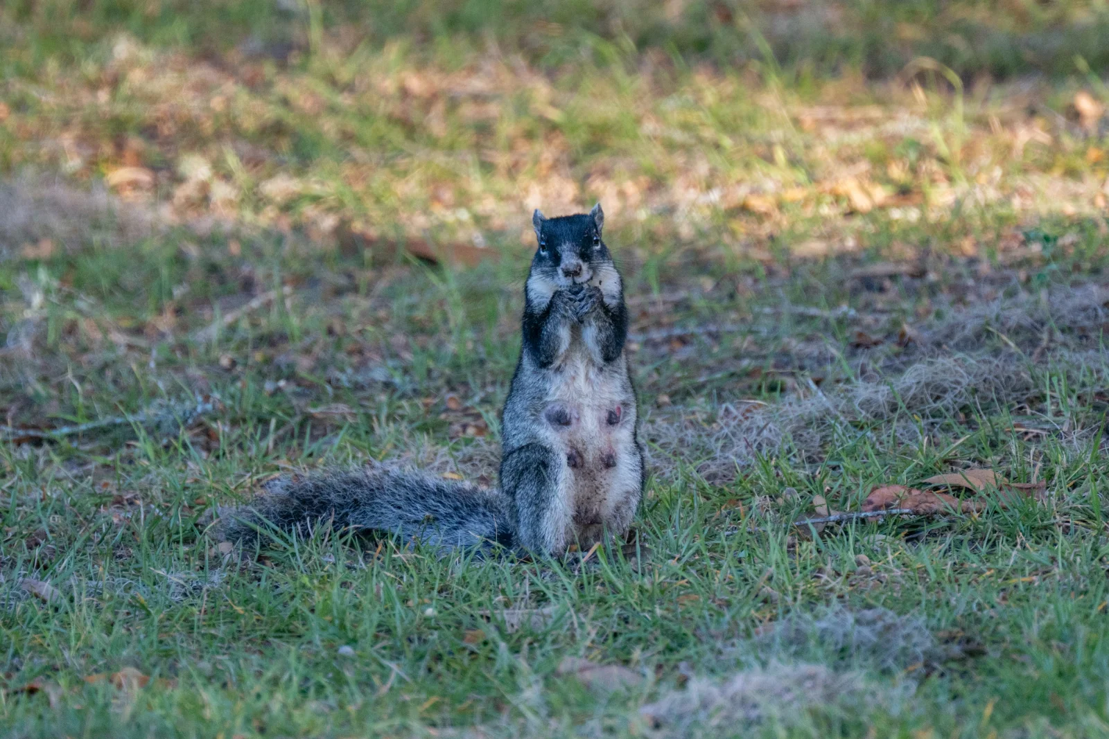
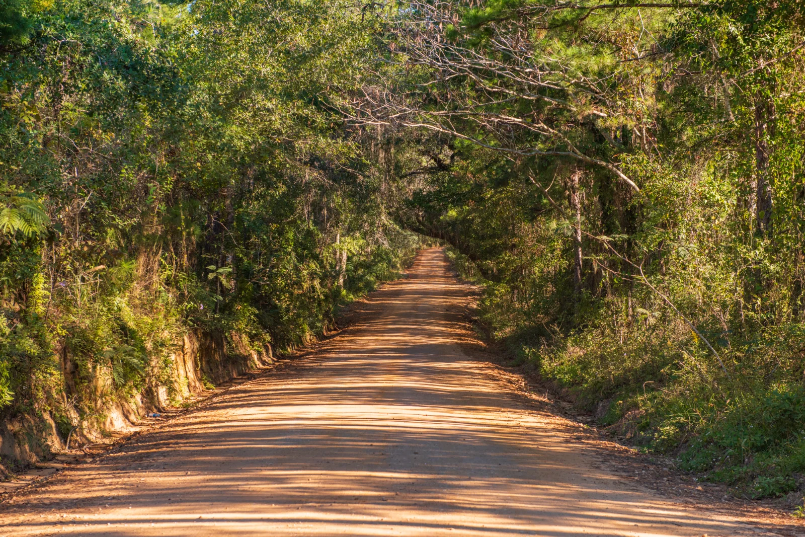
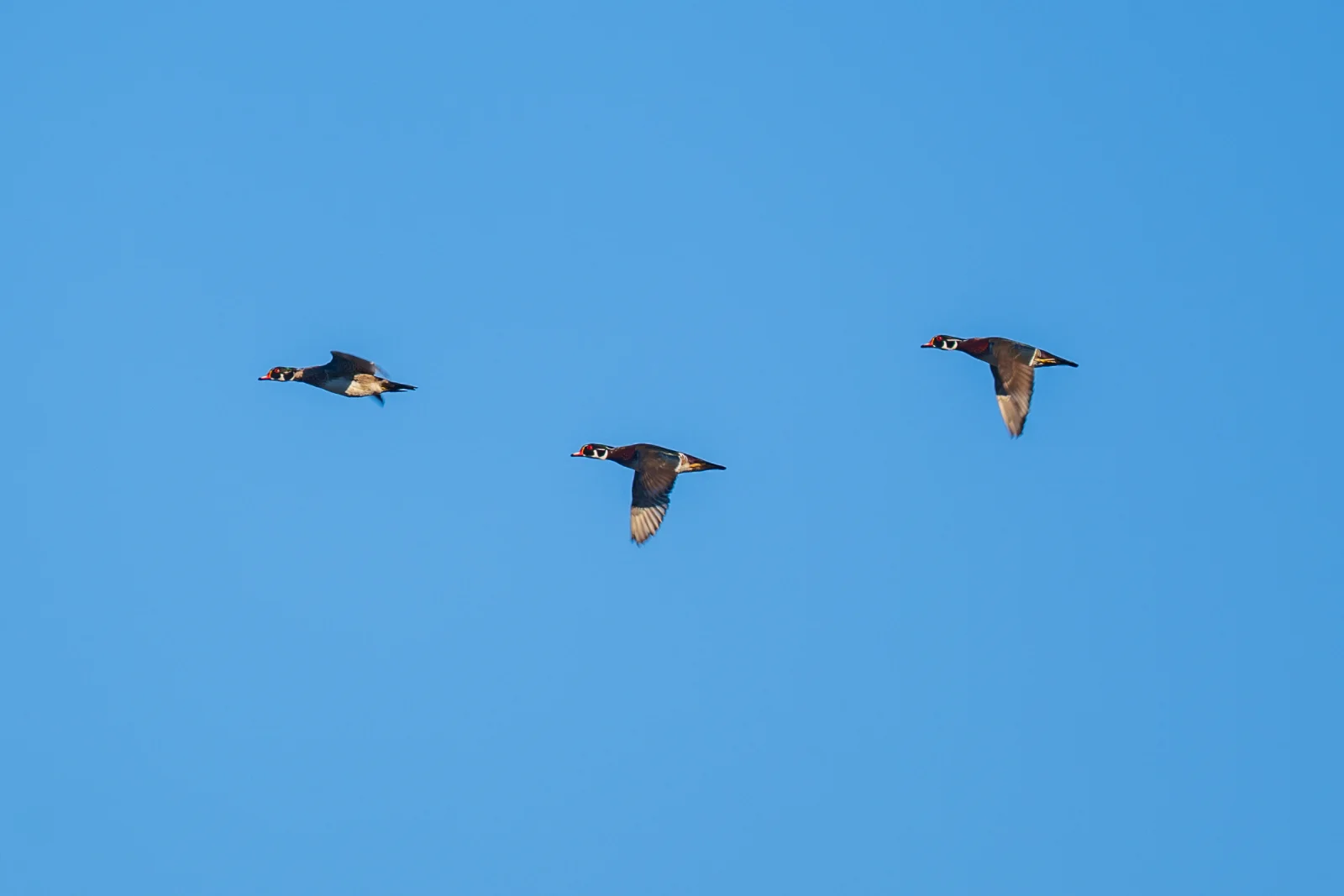
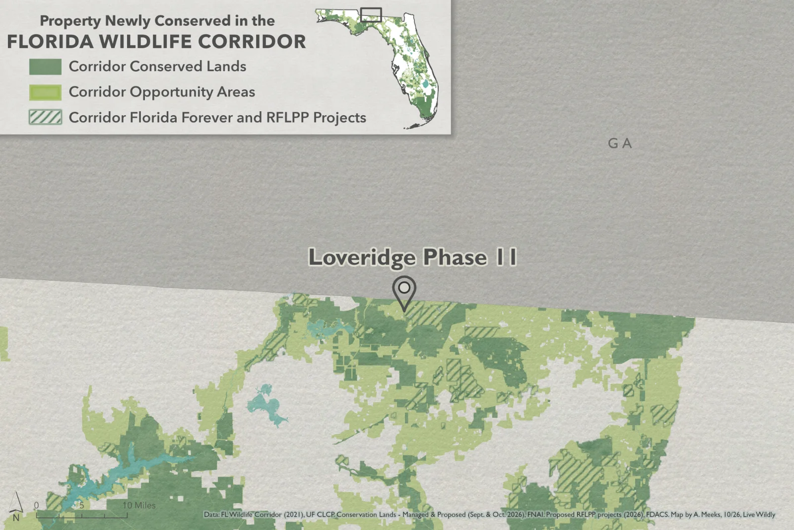
Loveridge Phase II
Suggested Post:
The Loveridge Project was recently approved for a rural lands conservation easement through the Rural and Family Lands Protection Program at the November 17 meeting of the Governor and Cabinet. The property is 3,770 acres and is located in the Florida Wildlife Corridor.
Thank you to the landowner, the Florida Department of Agriculture and Consumer Services, and Tall Timbers for coming together to conserve this property.
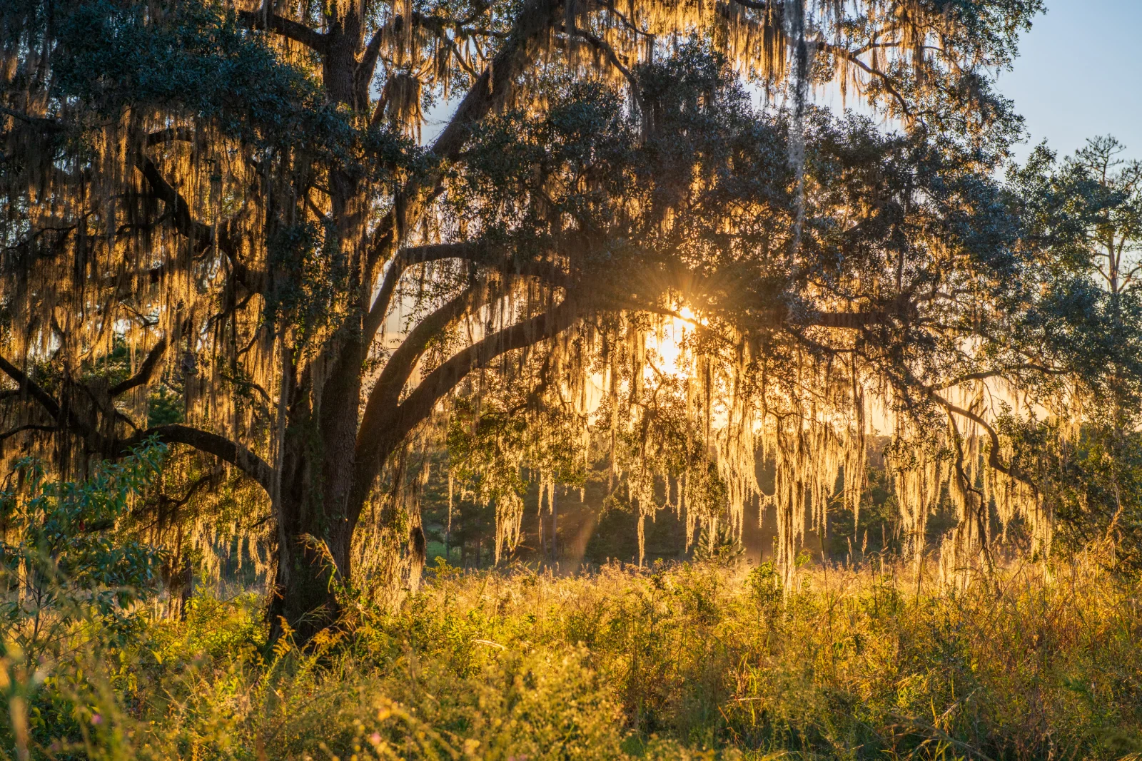
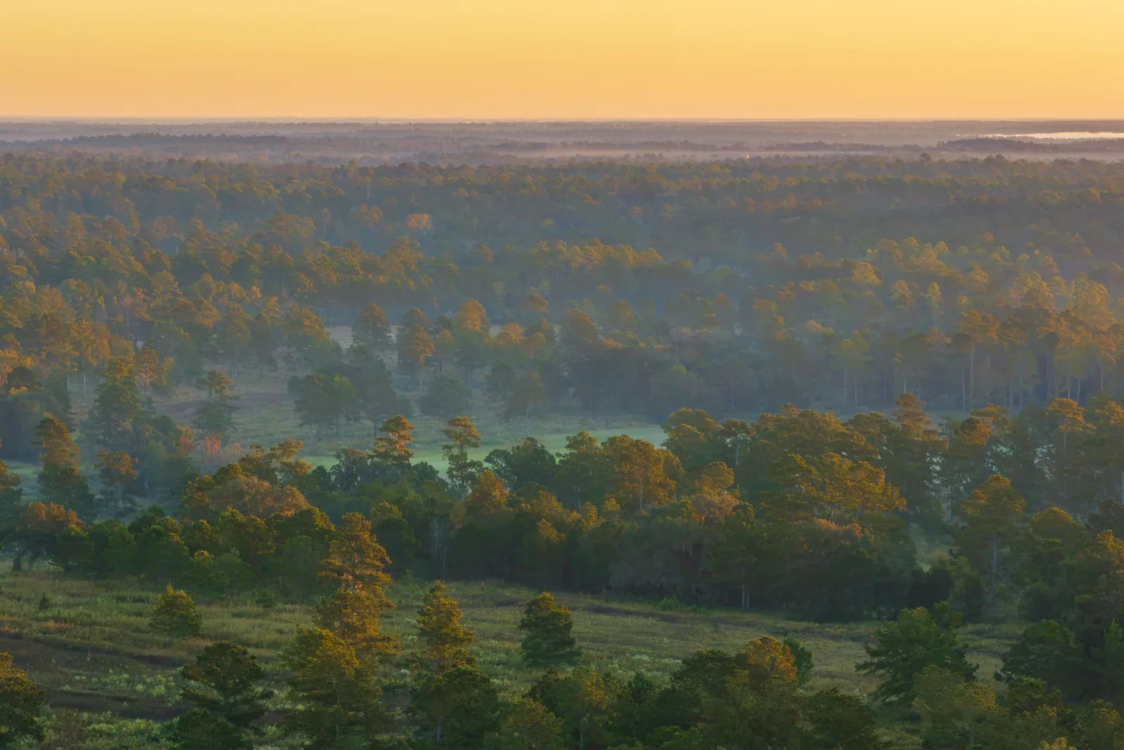
Loveridge is a timberland located in Leon County. The property brings connectivity to other conserved lands on its eastern and southern boundaries. Loveridge provides critical aquifer recharge to the region. The property is home to many species including fox squirrels, bobwhite quail, and multiple duck species.
Instagram tags: Florida Department of Agriculture and Consumer Services, @talltimbersresearch, Photos by @leyoho/@wildpath
Facebook tags: Florida Department of Agriculture and Consumer Services, @Tall Timbers, Photos by @LaurenYoho/@Wildpath
Map Instagram tags: Map by @angeline.maps/@livewildlyfl
Map Facebook tags: Map by Angeline Meeks/@Livewildlyfl
Suggested Hashtags
#KeepFLWild #ConnectTheCorridor #FloridaWildlifeCorridor
#WildlifeCorridors #ProtectWildPlaces #LandConservation #WildFlorida
Usage Rights
Visuals by Lauren Yoho, Drew McDougall, Carlton Ward Jr., Adam Strang Bass, and Angeline Meeks provided for one-time use for coverage or promotion of Florida Wildlife Corridor-related news from the November Board of Trustees meeting, dated November 2026. Copying, sublicensing, sale, distribution, and archiving are prohibited.
Mandatory Social Media Usage Requirements
For images, include the photo credit tag as listed:
Instagram: Photo by @leyoho, @drewmcdougall, @carltonward, @wildpath, Adam Strang Bass (reference photo grids for credit guidance)
Facebook: Photo by @LaurenYoho, Drew McDougall, @Carlton Ward Jr., @Wildpath, Adam Strang Bass (reference photo grids for credit guidance)
X: Photo by Lauren Yoho, Drew McDougall, Carlton Ward Jr., Adam Strang Bass (reference photo grids for credit guidance)
For maps, include the map photo credits:
Instagram: Map by @angeline.maps and @livewildlyfl
Facebook: Map by Angeline Meeks, @livewildlyfl
X: @AngelineMeeks and @livewildlyfl
Mandatory Online/Print Usage Requirements for Multimedia
Include the photo/map credit:
Photos:
Lauren Yoho/Wildpath
Drew McDougall/Wildpath
Carlton Ward Jr./Wildpath
Adam Strang Bass
Map: Angeline Meeks/Live Wildly Foundation
Mandatory On-Air Usage Requirements for Multimedia
For on-air usage, include credit with each photo, map, or video used:
Photos:
Lauren Yoho/Wildpath
Drew McDougall/Wildpath
Carlton Ward Jr./Wildpath
Adam Strang Bass
Map: Angeline Meeks/Live Wildly Foundation